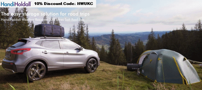
We are about to venture onto foreign soil in a week and I was pondering buying a new map of France and UK but then I got to thinking should I go down the GPS route. As I work in IT, I already have a PDA so would just need some software and a GPS receiver. But don't know if it's worth it over a good old map book?
Thoughts?
------------- Remember its the journey that counts and not the destination
Don't forget to leave a review of the French and other European campsites you have visited!
GPS is fantastic when you have a route or destination guiding you but you can't beat a paper map for getting the 'feel' of an area or for overall planning.
We used GPS extensively in France last year but would not be without the large scale Michelin Atlas as the screen the GPS is too small, especially if you're trying to plan with someone else.
We used both. We have a PDA with prymenav on it and it is great. We also have the tom tom software and loathe it. Each to their own but having now had nearly a year's worth of experience with it I have asked OH to delete Tomtom permanently!!
We have just done 2000 faultless miles using Prymenav and we also plotted our route on mappy.com and printed it off and used an atlas too. Have fun.
Ali
Don't forget to leave a review of the French and other European campsites you have visited!
well after all the dutch and french drivers getting stuck in our road since it was blocked off 5 years ago following their sat nav i would say defo get a paper map anyway as the sat nav obviously doesnt get all updates needed should see their face when we tell them they only want to be 200 yards through bollards but need to drive 3 miles to get to other side
-------------
never argue with an idiot, they will bring you down to their level and beat you on experience
AA road atlas of France 2006 £4.99 from any cheepo bookshop. Buy the latest every year. Scribble in them. Highlight roads then throw it away and get a new one.
hi, i used my pda with built in gps, in france last month. i always take a paper backup. the maps can be up to 5 years old on the software and i did need to look at the map to sort out 1 problem. hope that helps.
we use sat nav, and a map as a backup. When the sat nav has worked out the route, we scroll through to check it. If it is taking us a way that we do not want to go, we add some "via's" to bring it back to our way of thinking - we know that some autobahns are less congested than others.
You may want more than a road map. For walking or cycling an Ordnance Survey map or equivalent showing contours, hills and off-road routes is the thing. Not all GPS have that quality of mapping.
Ali, it was great. We were very lucky with the weather. Between 25 and 30 degrees in Niederau, and well over 30 in the Inn valley. It stopped raining just before we arrived, and started after we had left.
Pleasant to walk in the mountains, as there is always a breeze, and hot enough to crash out on the patio. Here is a picture of Cassie on our back lawn in Niederau, who despite being 15 now, still loves the hot sum.
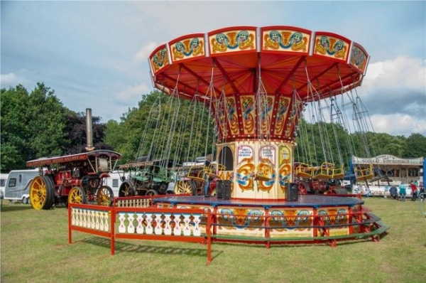
Amazing family weekend with old steam engines, classic car displays, market stalls, and full catering and bar. And camping on site - Save £25 by booking in advance.