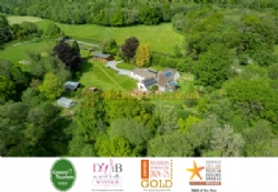
Map and location details of Wray Valley Camping
Free UKCampsite.co.uk Window Sticker - Add a Missing Campsite [Message Forums] [Caravan Sites & Camping] [Company Listings] [Features / Advice] [Virtual Brochure] [Special Offers] [Reception] [Competitions] [Caravans & Motorhomes For Sale] [Event Diary] [Tent Reviews] [Contact Us] 
Advertisement |
||||||||||||||||||||||||||||||||||||||||||||||||||||||||||||||||||||||||||||||||||||||||||||||||||||||||||||


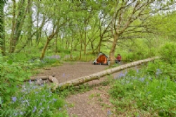
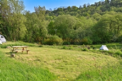

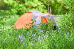
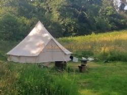
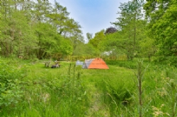

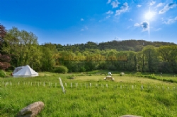
 Tent Pitches
  No Caravans
  No Motorhomes
  No Campervans
  Glamping Units
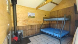
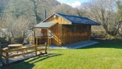
  No Statics for Hire
  No Statics for Sale
  No Seasonal Pitches
  No Electric Hookups
  No Hardstandings
  No Fully Serviced Pitches
 Families Welcome
  Not Members Only
  No Rallies
  Not Naturist Site
  Dogs Welcome
  No Dogs Allowed
  Groups Welcome
  Motorbikers Welcome
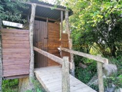
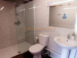
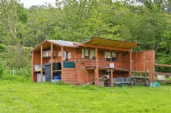
  Toilet Facilities
  Hot Showers
  Washing Up
  No Bathroom
  No Baby Changing
  No Laundry
  Drinking Water
  Disabled Friendly
  No Chemical Disposal
  Battery Charging
  No Gas Exchange
  Recycling Facilities
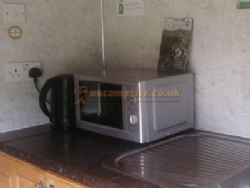
  Kitchen Facilities
  No Freezer / Fridge
  No Motorhome Point
  Wifi Access
  Shop <5 miles
  Bar On Site
  Restaurant or Cafe or Takeaway <5 miles
  No Playground
  No TV Room
  No Games Room
  No Evening Ents
  Fishing 5 miles
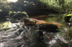
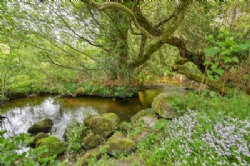
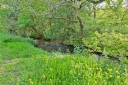
  Wild Swimming On Site
  No Indoor Pool
  Outdoor Pool 5 miles
  No Horse Riding
  No Cycle Hire
  Golf 5 miles
  No Tennis
  No Beach
  No Watersports
  No Boat Launch
  No Sea Views
  Not Working Farm
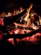
  Campfires Allowed
  Open All Year
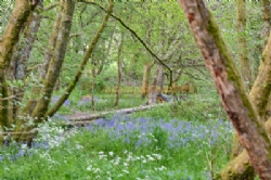
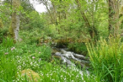
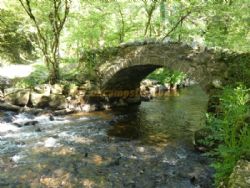
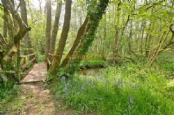
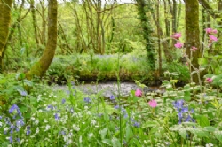
  Riverside Pitches
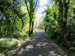
  Offroad Dog Walk On Site or Direct Access
  Electric Car Charging Point
 National Trust
 English Heritage
  Fuel Stations
 Good Pub Guide Pubs
Advertisement
Advertisement

