Site Location Map ( Click here to see all sites within 30 miles of this location )
Directions
A84 JUNCTION 41 follow campsite signs when you reach our village of Saint-Martin-des-Besaces.
GPS CO-ORDINATES: 49.00888, -0.859331
Plus code 245R+H9 Saint-Martin-des-Besaces
35 mins from CAEN
1hr 40 mins from CHERBOURG
1hr 35 mins from LE HAVRE
3hrs 45 mins from CALAIS
Late arrivals accepted with prior arrangements
CAUTION Sat Nav
French POSTCODE`S are not the same as in UK, therefore exercise CAUTION. The French postcode covers an area (eg 14350 which includes our village)covers the area centered on Beny Bocage, Calvados.
Use the postcode to reach the general area then consult your map or written detailed instructions (& perhaps switch off the SatNav voice :))
Safe Driving!
Nearby Attractions
Very Centrally Located
Camping Sous Les Etoiles Normandie enjoys an excellent central location, making it an ideal base for exploring the very best of the region.
To the north, you will find the historic D-Day Landing Beaches, along with the beautiful town of Bayeux, home to the world-famous Bayeux Tapestry.
To the south lies the charming and historic village of Domfront, set within Normandy`s large regional natural park and known for its medieval streets and scenic surroundings.
To the east, in the area known as Suisse Normande (Little Switzerland), is Clecy, famous for its dramatic landscapes, a miniature railway, and the River Orne, which is perfect for canoeing, kayaking, and fishing.
To the west, discover the iconic Mont-Saint-Michel, one of France`s most breathtaking landmarks, as well as the wide sandy beaches of the Cotentin coastline.
Within the village itself, there is a museum dedicated to the Liberation of the Bocage region, featuring a knowledgeable English-speaking curator supported by local historians. For those seeking adventure, a range of nearby activities is available, including bungee jumping, parachuting, and other outdoor sports.
|





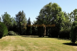
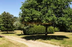
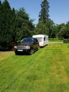
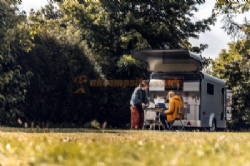
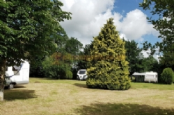
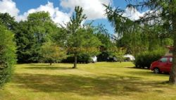
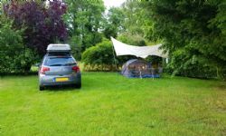
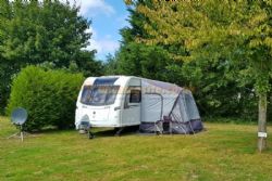


 Tent Pitches
 Caravan Pitches
 Motorhome Pitches
 Small Campervans
 No Glamping Units
 No Statics for Hire
 No Statics for Sale
 No Seasonal Pitches
 Electric Hookups
 No Hardstandings
 Fully Serviced Pitches

 Families Welcome
 Not Members Only
 No Rallies
 Not Naturist Site
 Dogs Welcome
 No Dogs Allowed
 Groups Welcome
 Motorbikers Welcome
 Toilet Facilities
 Hot Showers
 Washing Up
 No Bathroom
 Baby Changing Facilities
 Laundry On Site
 Drinking Water
 Disabled Friendly
 Chemical Disposal
 No Battery Charging
 No Gas Exchange
 Recycling Facilities
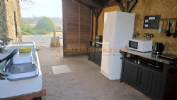
 Kitchen Facilities
 Freezer / Fridge
 Motorhome Point
 Wifi Access
 Shop On Site
 Bar On Site
 Restaurant or Cafe or Takeaway On Site
 Kids Playground
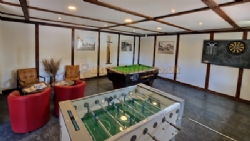
 TV Room
 Games Room
 No Evening Ents
 No Fishing
 No Wild Swimming
 No Indoor Pool
 No Outdoor Pool
 No Horse Riding
 No Cycle Hire
 No Golf
 No Tennis
 No Beach
 No Watersports
 No Boat Launch
 No Sea Views
 Not Working Farm
 No Campfires Allowed
 No Waterside Pitches
 Public Transport
 Offroad Dog Walk On Site or Direct Access

